GIS SERVICES
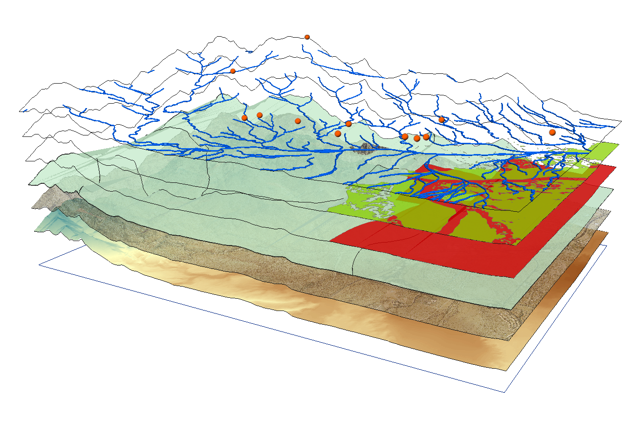
Whether you’re working on a small or large-scale project B2Z can help minimize cost, be more efficient and make better, more informed decisions on your projects. Using the latest drone technology and software we can provide site assessments, route/corridor selection, evacuation planning, emergency management response and anything in-between. B2Z has over 9 years of GIS experience using ESRI ArcMap and continues to expand on its capabilities.