Drone technology and Geographic Information Systems (GIS)
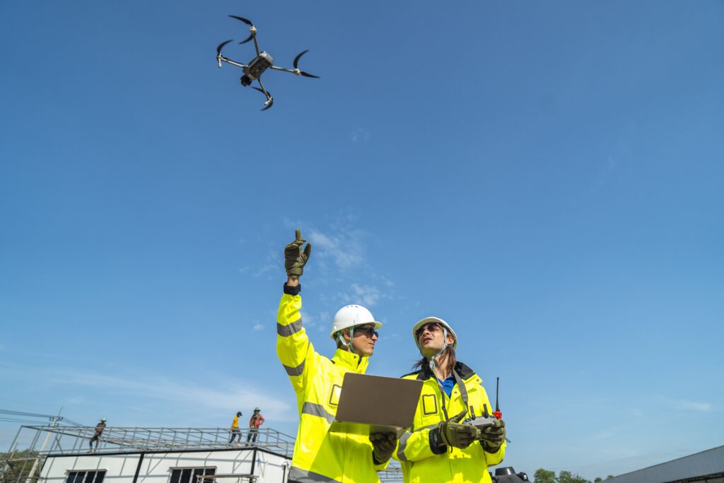
At B2Z Engineering, we leverage the power of drone technology and Geographic Information Systems (GIS) to deliver cutting-edge data and imaging to enhance project efficiency, accuracy and decision-making. Embracing a culture of collaboration, innovation and continuous improvement, we work closely with our clients to provide data-driven insights with which they can plan, design, and optimize across a wide range of industries.
Clients choose B2Z Engineering’s Drone and GIS Services for our ability to deliver precise, real-time data that enhances decision-making, saves time, and reduces costs. Utilizing advanced technology, our engineers and technicians conduct site assessments, detailed mapping, and comprehensive data analysis. Our innovative drone and GIS solutions support construction monitoring, asset management, and environmental impact analysis, ensuring stakeholders have the accurate insights needed for informed, data-driven decisions.
Our Expertise in Drone & GIS Services
Aerial Mapping & Surveying
Using advanced drone technology, we capture high-resolution imagery and topographic data that enable precise mapping and surveying. This helps streamline project planning and reduces fieldwork time, saving both time and costs while enhancing data accuracy.
Geospatial Analysis & Data Visualization
With GIS, we analyze and visualize spatial data to uncover patterns, trends, and insights that inform better decision-making. Our team integrates GIS data with real-world contexts, providing comprehensive views that help guide project direction and ensure long-term success.
Site Inspections & Monitoring
Drones allow for real-time monitoring of construction sites, environmental conditions, and infrastructure. We provide detailed, up-to-date reports that track progress, identify potential issues early and ensure compliance with safety and regulatory standards.
Land Development & Planning
Our drone and GIS services support land development by providing accurate terrain models, site assessments and environmental impact analysis. This ensures that development plans are well-informed and sustainable, enhancing project feasibility and efficiency.
3D Modeling & Mapping
We create 3D models of landscapes, infrastructure, and buildings using drone-captured data. These models offer detailed views for design, analysis, and stakeholder presentations, aiding in better planning and communication.
By integrating drone technology, civil engineering projects have become more precise, efficient, and safe, ultimately leading to better project outcomes and cost-effective infrastructure development.
Industries We Serve
- TxDOT & FHWA
- City & County Governments
- Public Works Departments
- Private Sector & Commercial Developers
- Real Estate & Land Developers
- Industrial & Manufacturing Facilities
- Energy & Utility Companies
- Heavy Civil Construction Companies
- Design-Build Contractors